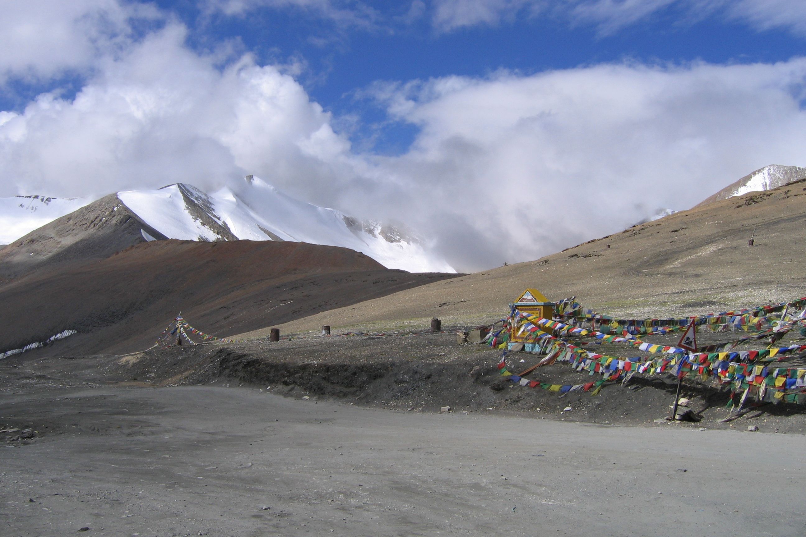
At a staggering height of 4,890 meters (16,040 feet), Baralacha La Pass is one of India’s highest motorable mountain passes. This Himalayan crossing acts as a tri-junction, linking roads from Zanskar, Ladakh, Spiti, and Lahaul—a feature reflected in its name, which means “pass with meeting paths at the top.”
Framed by the Pir Panjal, Zanskar, and Great Himalayan ranges, the pass boasts dramatic scenery, including snow-clad peaks, glacial lakes, and ruggedly beautiful terrain.
The Baralacha La Pass location is approximately 150 km from Manali and 282 km from Leh, making it a pivotal point on the Leh-Manali Highway. Not far away, the Bhaga River springs from the calm waters of Suraj Tal (Surya Taal Lake), while the Chandra River is fed by a glacier in the area.
Together, these rivers form the Chandrabhaga River (Chenab River) downstream, adds to the pass’s geographical significance. The pass also serves as a water divide between the Bhaga and Yunam rivers, enhancing its role in the region’s ecosystem.
How to Reach Baralacha La Pass
Reaching Baralacha La Pass is an adventure in itself, as it involves traversing the rugged Leh-Manali Highway. Here are the primary routes:
Baralacha La from Manali
The distance from Manali to Baralacha La is approximately 150 km, taking around 6 hours by road. The route passes through Rohtang Pass, Gramphu, Keylong, Jispa, Darcha, and Zingzing Bar.
The Manali to Leh journey via Baralacha Pass is a popular choice for road trippers and bikers, offering stunning views of the Himalayan landscapes.
Baralacha La from Leh
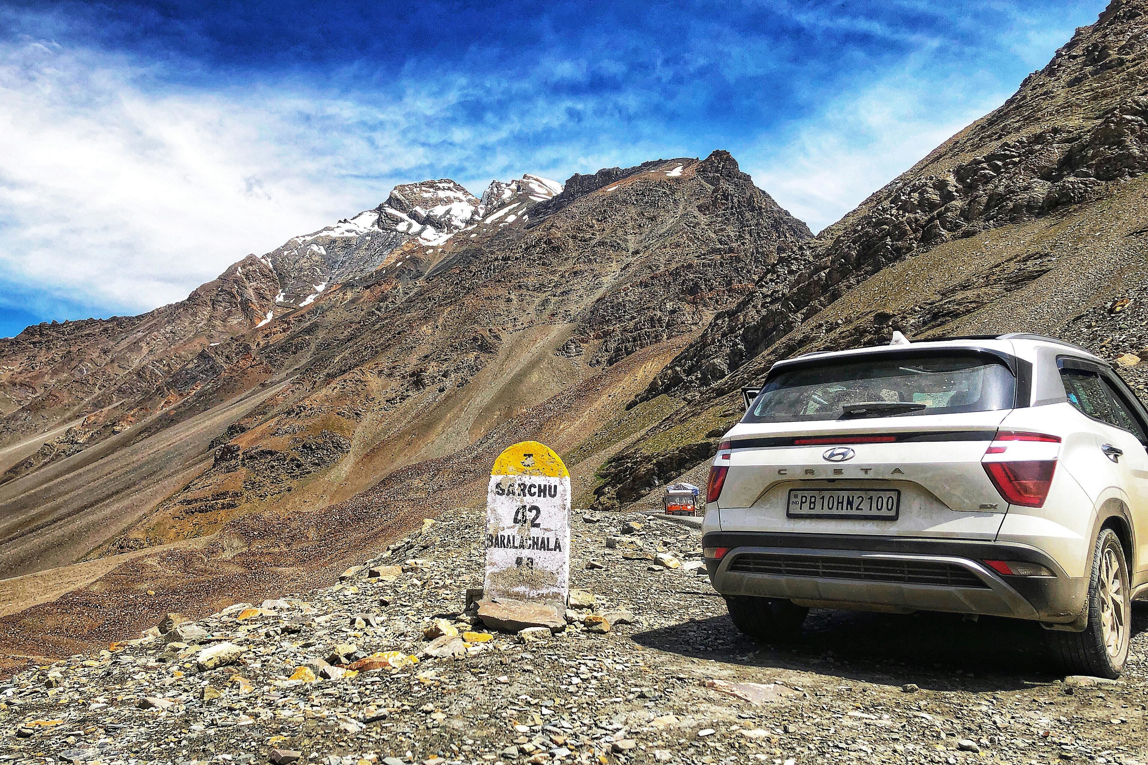
The distance is about 282 km, taking around 7.5 hours. The route includes Upshi, Rumtse, Pang, and Sarchu, passing through other Leh-Manali Highway passes like Tanglang La.
Travel Options:

-
By Air: The nearest airport is Bhuntar Airport (Kullu-Manali Airport), 200 km from Manali. From there, hire a taxi or take a bus to Manali and proceed by road.
-
By Train: The nearest railway station is in Joginder Nagar (for Manali) or Pathankot (for Leh), but trains to Leh are not available due to the high altitude. Road travel is the primary option.
-
By Road: Self-drive, hired taxis or guided tours are common.
Map tip: Use GPS or offline maps, as mobile networks are unreliable in this region.
Best Time to Visit
Timing is critical when planning a trip to Baralacha La. The best time to visit Baralacha La Pass is from June to September, when the snow melts, and the Leh-Manali Highway becomes accessible.
During these months, the weather is relatively stable, with temperatures ranging from 5°C to 15°C during the day. However, nights can still be chilly, so warm clothing is essential.
-
Is Baralacha La Pass open in May ? The pass typically opens in May after the Border Roads Organisation (BRO) clears accumulated snow, but road conditions may still be challenging due to melting snow and slush. Always check the road condition before planning your trip.
-
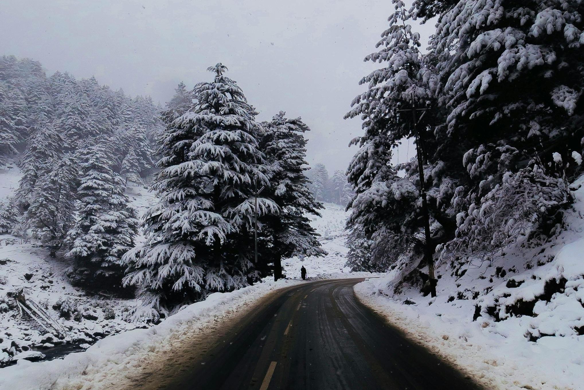
Baralacha La in winter – is it open ? Baralacha La remains closed between November and March as snowfall accumulates up to 200 cm, rendering the routes both impassable and hazardous for travelers.
Monsoon months (July to August) can bring unpredictable weather and landslides, so early summer (June) or early autumn (September) is ideal for a safer and more enjoyable snow experience.
Things to Do at Baralacha La
Baralacha La is a paradise for adventure enthusiasts and nature lovers. Here are the top activities:
-
Photography: Capture the tavel experience with stunning views of snow-covered passes, Suraj Tal, and the surrounding Himalayan mountain passes. The barren landscapes and fresh snowfall create postcard-perfect scenes.
-
Trekking: Trekking routes near Baralacha La include the Suraj Tal trek and the Chandra Tal trek. The week-long Chandra Tal trek from Manali to Batal, via Chandra Tal, Tokpo Gongma and Tokpo Yongma, is a thrilling high-altitude adventure.
-
Wildlife Spotting: Look out for exotic species like marmots, pikas, horned larks, lammergeier vultures and snow pigeons in the cold desert ecosystem.
-
Camping: While there are no hotels at the pass, camping and stay options are available in nearby Jispa, Sarchu or Keylong. At campsites, you can enjoy traditional Tibetan dishes such as noodles, momos, and soups.
Road Condition and Challenges
The Leh-Manali highway challenges are well-known, and Baralacha La road condition can be unpredictable. The roads are narrow, steep, and prone to sharp turns, icy patches, and sudden weather changes.
During early summer, melting snow can create slushy sections, while monsoon rains may trigger landslides. Key tips for navigating these roads :
-
Start early to avoid afternoon snowmelt and water streams, which can make crossing the pass difficult.
-
Drive cautiously and avoid speeding, especially on sharp turns and steep drops.
-
It’s advisable to carry additional fuel, as Tandi (close to Keylong) is the last place to refuel.
Travel Tips
To ensure a safe and memorable trip, keep these travel tips in mind:
-
Permits: Indian citizens need a valid photo ID (Aadhar, voter ID or passport). Foreign nationals require passports and visas.
-
Clothing: Wear warm layers, a windproof jacket, gloves and sturdy shoes, even in summer, due to chilly winds.
-
Timing: Start early to enjoy ample daylight and avoid riding after 5:30 PM.
-
Vehicle Prep: Ensure your vehicle is in top condition, with spare tires and tools for emergencies.
-
Weather Check: Keep a close eye on the weather updates, as sudden changes are common.
Altitude Sickness Tips

At 4,890 meters, altitude sickness is a real concern due to low oxygen levels. Altitude sickness in the Himalayas can cause headaches, nausea, and breathing difficulties.
Here are essential tips:
-
Acclimatize: Spend a night in Keylong, Jispa, or Sarchu to adjust to the altitude before crossing the pass.
-
Stay Hydrated: Drink plenty of water and avoid alcohol.
-
Medications: Carry Diamox (must consult a doctor before taking it) and basic medicines like pain relievers.
-
Oxygen Cylinder: Have a portable oxygen cylinder, especially for children or those with health issues.
-
Monitor Symptoms: If symptoms worsen, descend to a lower altitude immediately. An army health center near Darcha offers basic medical treatment.
Camping and Stay Options
There are no hotels or eateries at Baralacha La, so plan your accommodations in advance. Nearby options include:
-
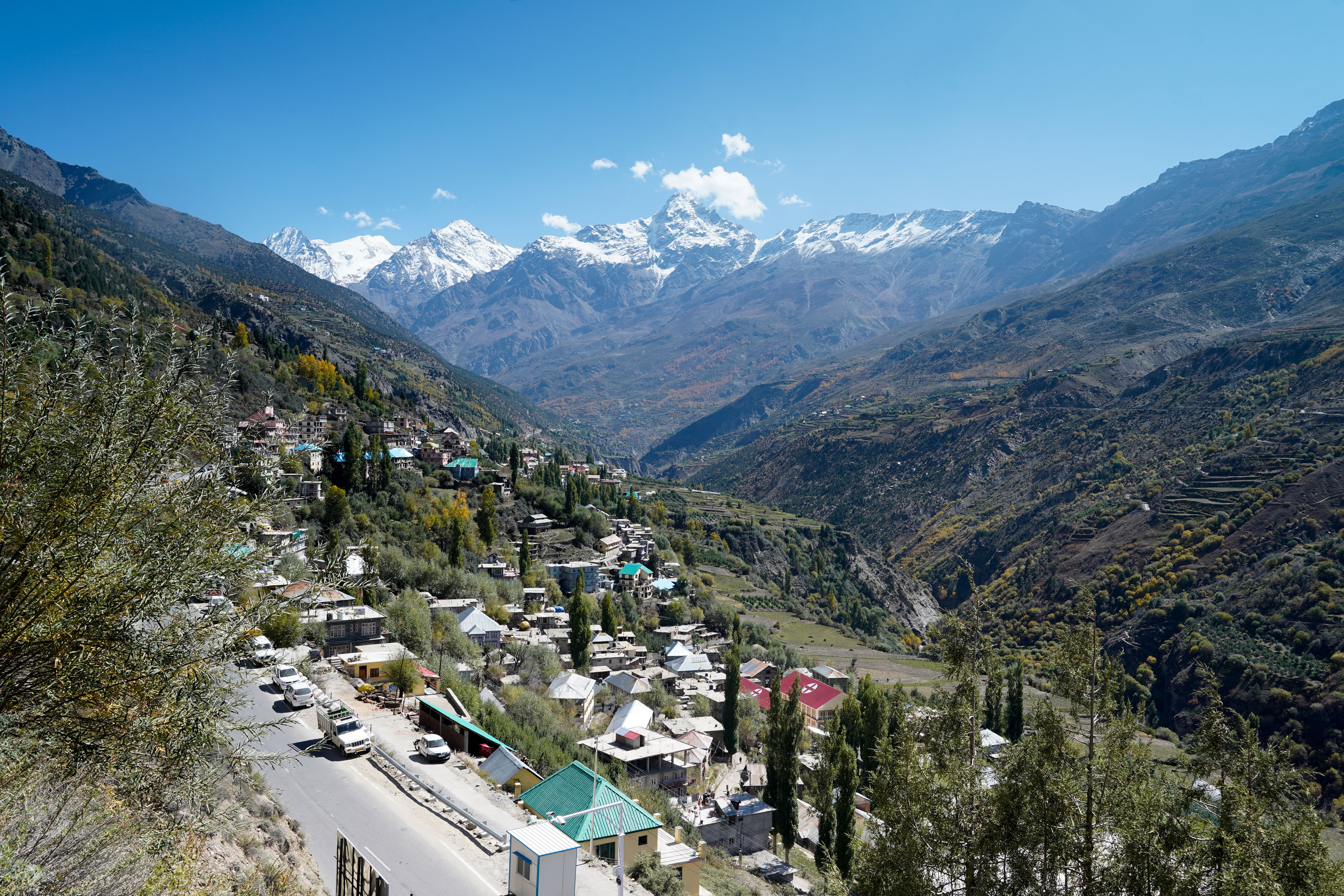
Keylong (75 km away): Hotels and guesthouses with basic amenities.
-
Jispa (closer to the pass): Campsites and homestays offering a rustic experience.
-
Sarchu (on the Leh side): Tent camps with Tibetan food, ideal for acclimatization.
Pack snacks like energy bars, dry fruits, and chocolates, as food options are limited to campsites serving Tibetan cuisine.
Baralacha La vs Rohtang Pass and Tanglang La
Travelers frequently draw comparisons between Baralacha La and Rohtang Pass, as well as Baralacha La and Tanglang La.
Here’s a quick comparison:
-
Baralacha La vs Rohtang Pass: Rohtang Pass (3,978 meters) is closer to Manali and more accessible but less scenic than Baralacha La. Baralacha’s higher altitude and remote location offer a more surreal and untouched experience.
-
Baralacha La vs Tanglang La: Tanglang La (5,328 meters) is higher and colder, located further along the Leh-Manali Highway. Baralacha La is renowned for its crossroads and proximity to Suraj Tal, while Tanglang La offers vast, barren plains.
Is travelling Baralacha La Pass Dangerous ?
The pass can be challenging due to its high altitude, unpredictable weather, and rugged roads. However, with proper preparation, acclimatization, and caution, it’s a safe and rewarding destination.
The key is to respect the environment, follow safety guidelines and be prepared for emergencies.
Conclusion
Baralacha La Pass is a jewel in the Himalayan adventure crown, offering a unique blend of natural beauty, cultural significance and thrilling experiences.
Whether you’re drawn to the scenic routes in North India, the challenge of high-altitude passes, or the tranquility of Zanskar and Spiti Valley routes, this pass delivers it all.
From the crystal-clear waters of Suraj Tal to the adrenaline rush of a road trip, every moment here is a story waiting to be told.
This high mountain pass in India is not just a destination—it’s a journey into the heart of the Himalayas, where adventure and serenity coexist.